Radar
Introduction
Weather radar data, potentially both a single still image as well as looping images, may be available. Looping images are 10 minutes apart. By default, a maximum of 10 chronologically sequential images are displayed resulting in 1.5 hours of historical radar data. This default value can be changed if more data is desired.
Common Elements
Hovering over the menu item reveals more detailed information aobut the time frame of the images.

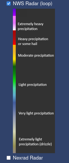
The radar legend is displayed automatically when the layer is active:
National Weather Service Radar
The NovaStar Operator supports displaying radar data from the National Weather Service, as shown by the following image:
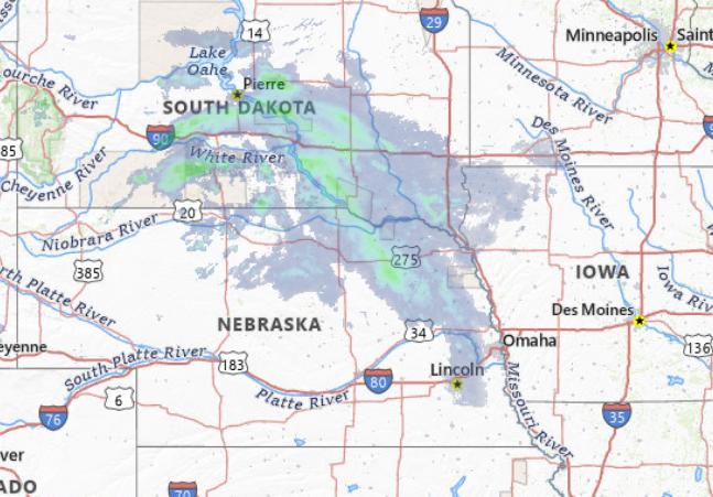
The tiles for the map are accessed via a URL of the following format:
https://mapservices.weather.noaa.gov/eventdriven/services/radar/radar_base_reflectivity_time/ImageServer/WMSServer?service=WMS&request=GetMap&layers=radar_base_reflectivity_time&format=image%2Fpng&transparent=true&version=1.3.0&time={time}&width=256&height=256&crs=EPSG%3A3857&bbox=-{west coordinate bound},{south coordinate bound},{east coordinate bound},{north coordinate bound}
Configuration and Technical Details
The radar layer uses the data-layer-wms-time class.
NEXRAD Radar
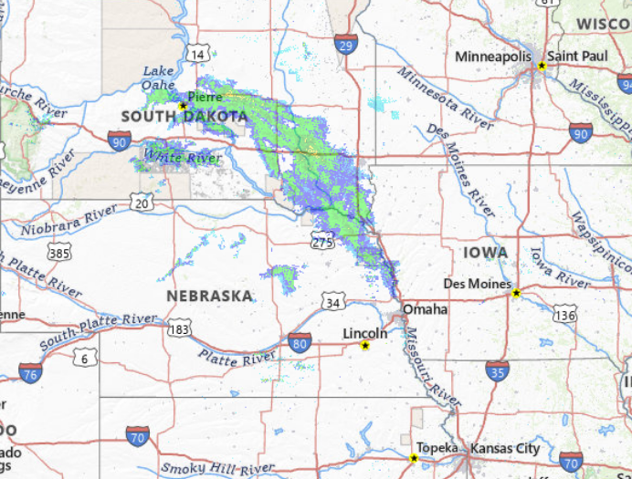
The tiles for the map are accessed via a URL of the following format:
https://mesonet.agron.iastate.edu/cgi-bin/wms/nexrad/n0r-t.cgi?service=WMS&request=GetMap&layers=nexrad-n0r-wmst&format=image/png&transparent=true&version=1.3.0&time={time}&width=256&height=256&crs=EPSG:3857&bbox={west coordinate bound},{south coordinate bound},{east coordinate bound},{north coordinate bound}
Configuration and Technical Details
The radar layer uses the data-layer-wms-time class.
Historical Information
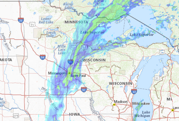
Hovering over the menu item reveals more detailed information aobut the time frame of the images.
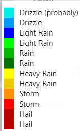
The radar legend is displayed automatically when the layer is active:
Data Source
The source of the radar data is rainviewer.com
A single file contains the currently available timestamps of radar images. This file is available at https://tilecache.rainviewer.com/api/maps.json
Once the timestamps have been determined, the image for each timestamp is available at: https://tilecache.rainviewer.com/v2/radar/{timestamp}/256/{z}/{x}/{y}/5/1_1.png
The 10 most recent images are displayed when looping.
Configuration And Technical Details
The radar layer uses the data-layer-png-rainviewer class.